|
Although I filmed several earlier crop circles the
other day when I flew to get the Penrose Triangle formation, the most
interesting things I saw were crop marks not caused by the usual
circle-making forces.
This alignment of ancient barrows is on West Down,
close to the Beckhampton gallops. Six of them are “ghosts” which have
been flattened by ploughing over the centuries, yet their outlines can
still be seen as discoloration in the crop. The other four, to the
right, have been preserved by the farmer. Ghosts like this have
fascinated me since I first flew over British farmland.
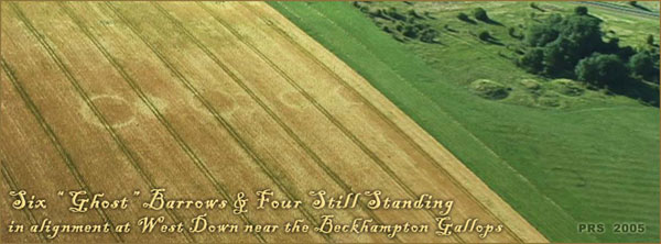
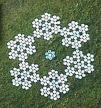
Ghosts
This little crop circle in canola below Goldenball Hill
was the first in Wiltshire on May 1st 2005, and it is now very shabby
indeed. But what makes this shot very interesting indeed, are the two tracks
of whirlwinds which converge to touch it, and then diverge again. This is
one of those extraordinary crop circle coincidences that “are enough to make
you think!” 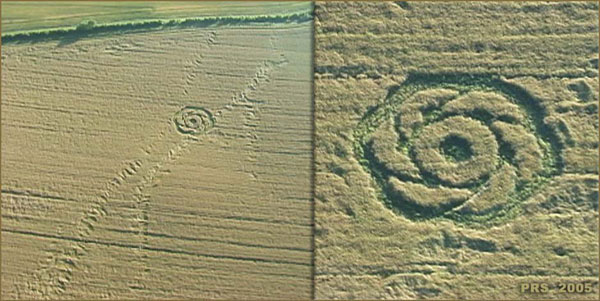
Goldenball
Hill
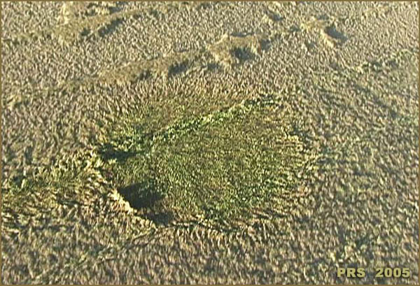
I’m sure that this (pointed out to me by the pilot), is
helicopter damage in a field of canola which is also almost completely
flattened by wind and rain. I’ve seen marks like this three or four times over the years, and, since in the
early days one theory of crop circles was that they were made by hovering
helicopters, I suspect that chopper pilots are trying to see if they can make
a circle. It has a slight “tail” on the 8:00 position, which would be caused
by the aircraft as it approached or departed. The circle was obviously made
some time ago, as green grass has sprung up inside it. It is near what the
Ordnance map incorrectly calls Tan Hill. (Tan hill actually is the much
larger, undesignated hill to the left, above Rybury Camp!)
 hovering
helicopters? Images
Peter Sorensen
Copyright 2005
Peter Sorensen |
|